The South Fork of the American River originates in Desolation Wilderness, high in the Sierra Nevada mountains. Starting approximately 5 miles east of Sierra at Tahoe Resort and fed by winter snowmelt, this river meanders westward, weaving through pine forests, granite landscapes, and charming mountain communities. Along its course, the South Fork is joined by numerous creeks, encompassing a watershed of about 840 square miles.
Shortly after the South Fork begins it cascades over popular Horsetail Falls then runs along Highway 50 for about 20 miles. From there it continues to weave its way through diverse terrain before converging with the American River 90 miles later.
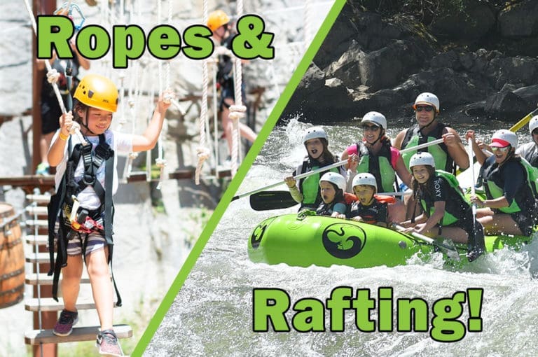
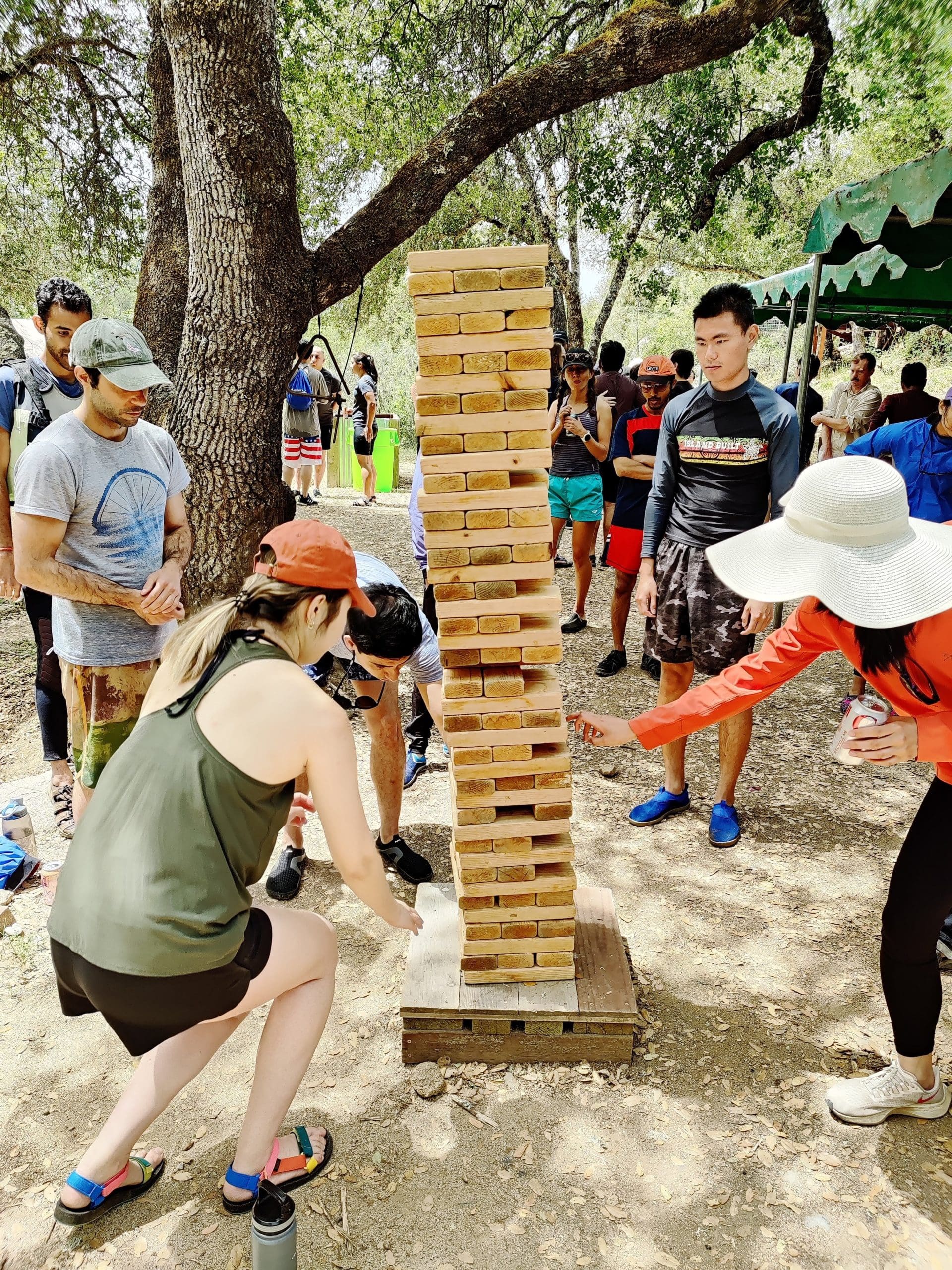
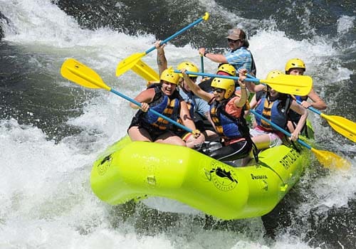
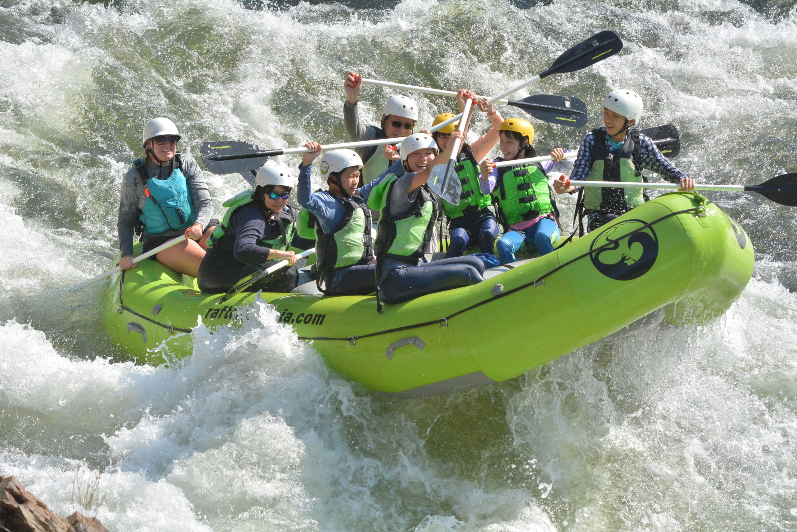
The South Fork American River rafting trips are some of the most popular in California, and for a good reasons. This river has served as an introduction to California white water rafting for countless beginners and also lures many back year after year. There are trips suitable for everyone, including families, groups of friends, corporate groups, scouts and youth groups. Raft for just a few hours or spend a few days with us.
If you are looking for the best rafting near Sacramento look no further then South Fork American River rafting!
Water flows in the South Fork American River result from releases from hydroelectric facilities located upstream. Such water releases are not subject to the control of El Dorado County or rafting companies operating under Permits from the County of El Dorado.
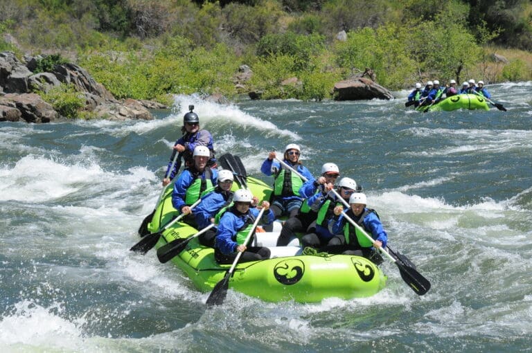


Located just outside of Sacramento, white water rafting South Fork American River features three easily accessible rafting sections which allows us to provide six diverse white water experiences suitable for various age groups and skill levels.
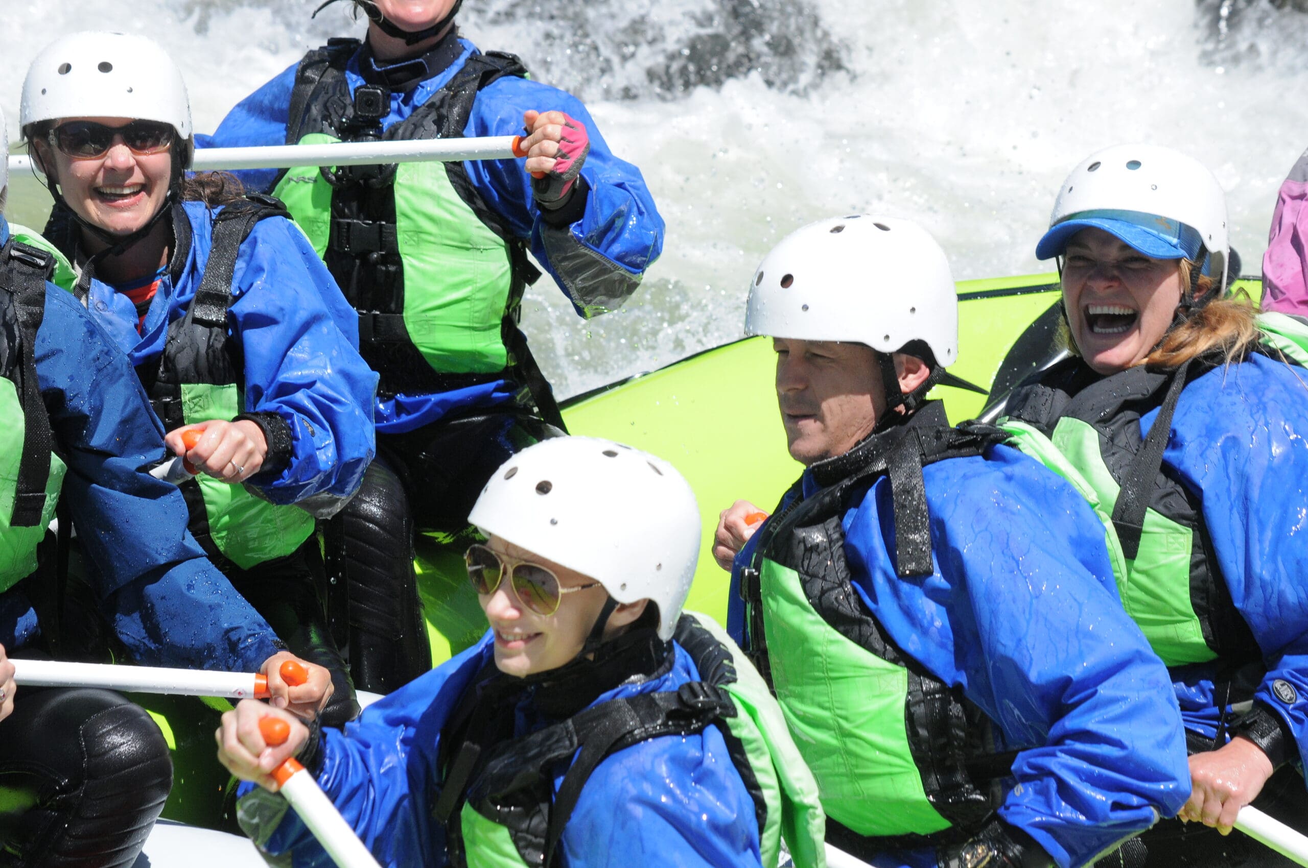
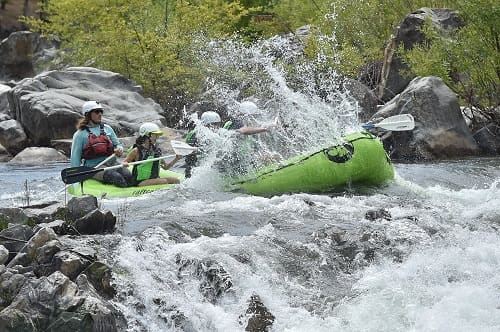
The South Fork American is perfect for first time rafters as well as those with some rafting experience. Great for anyone looking for a fun, splashy river adventure. In addition we run rafting trips not offered by any other outfitter in the Coloma-Lotus Valley and as such can appeal to a wide variety of adventure seekers, groups and families.
Noteworthy is the extended white water rafting season of the South Fork, with trips available from April through October, thanks to the mild California weather. The river’s versatility is evident in its safe rafting conditions, accommodating flows ranging from 1,200cfs to 8,000cfs (cubic feet per second – for reference a cubic foot is roughly the size of a basketball).
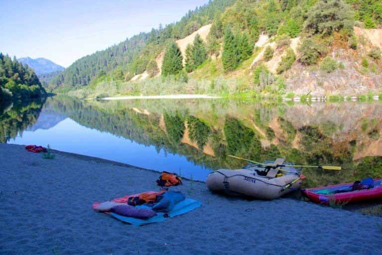
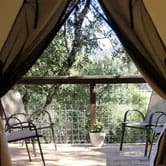
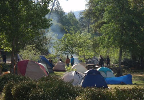
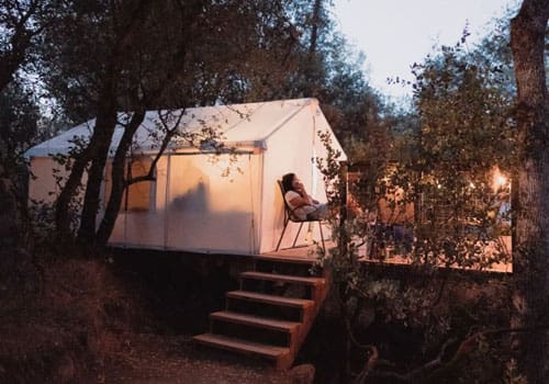
Camping at our outpost on the South Fork American River is available to all rafting guests. Overnight trips already include camping, but 1/2 day and 1 day river rafting guests are welcome to stay as well. We have open camping areas for you to bring your own tent or glamping canvas tents for rent.
Heading to Lake Tahoe and searching for a trip closer to the area? Check out our Truckee River rafting trips which are just 20 min north of Tahoe. Or head toward South Lake Tahoe and try our East Fork Carson River rafting 2-day trip, complete with hot springs!
Younger families may want to explore Lower Middle Fork American River rafting trips, perfect for ages 4+. Or adventurers can kick it up a notch with Class 4 North Fork American River rafting trips or Middle Fork American River rafting trips.
Not quite sure what you are looking for? Check out all of our Northern California rafting trips, American River rafting options, rafting near Sacramento, or all California rafting options.
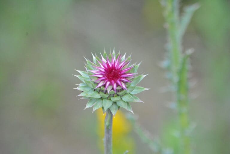
The South Fork of the American River includes pieces of conserved land, creating a haven for an array of wildlife. Throughout the river banks you can find an impressive assortment of trees and other brush species including various oaks, the California Buckeye, multiple willow species, and the White Leaf Manzanita, elderberry shrubs, Himalayan blackberry, and California wild grape.
In addition to it’s plant life you can diversity sustains a thriving community of animals that call the South Fork of the American River corridor home. The area supports a remarkable 117 bird species, including majestic Ospreys and the rare Bald Eagle, soaring through the skies.
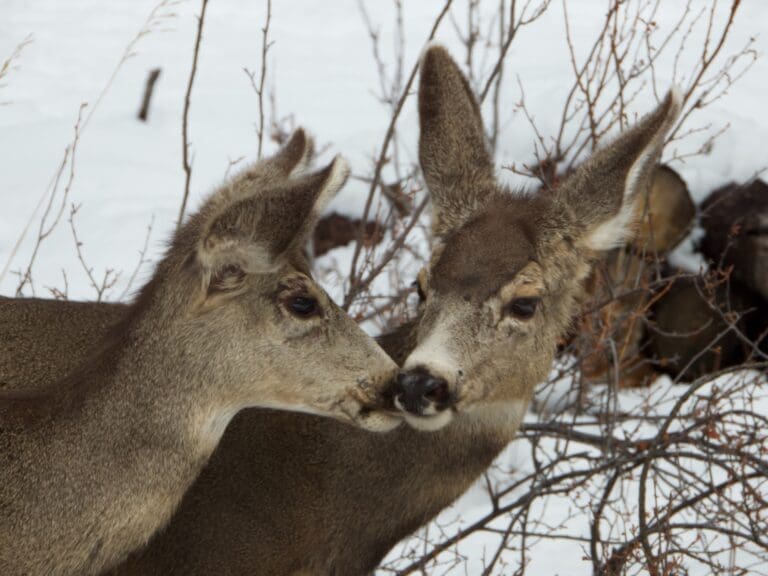
Mammals are equally abundant, with inhabitants ranging from the common coyotes, grey foxes, and mule deer to the more elusive black bears, bobcats, and playful river otters, adding an element of intrigue for nature enthusiasts. Beneath the water’s surface, a vibrant aquatic world unfolds, hosting species like rainbow trout, Sacramento pike minnow, and the delicate pacific tree frog. The biodiversity extends to amphibians, with Gilbert’s skink adding to the fascinating array of creatures that thrive along this vital watercourse. As a sanctuary for both flora and fauna, the conserved land along the South Fork of the American River stands as a testament to the importance of preserving and protecting natural habitats for generations to come.
In 1848, the course of world history took a dramatic turn when the South Fork of the American River, specifically the town of Coloma, yielded California’s inaugural gold discovery at Sutter’s Mill. This momentous event set off the famed California Gold Rush of 1849, regarded as one of the most significant mass migrations for a singular purpose since the Crusades. It is estimated that 90,000 people from all over the world emigrated to California in 1894 alone! However, as the easily accessible gold dwindled, the mining landscape underwent a transformation, marked by the proliferation of hydraulic pumps that left an environmental legacy.
The exuberant pursuit of gold took its toll on the South Fork, leading downstream communities to voice their grievances about the ecological aftermath caused by the miners. Consequently, mining operations were eventually halted. Today, remnants of this historic era endure in the form of massive trenches carved by the miners over 150 years ago.
Human intervention has shaped the river’s path in other ways, with three major dams—Slab Creek Reservoir (built in 1967), Chili Bar Reservoir (built in 1964), and Folsom Lake Reservoir (built in 1955)—controlling its natural flow. The South Fork meets up with its Northern counterpart in Folsom creating a vast reservoir and together they continue on to join the Sacramento River, before flowing out into the Delta and the San Francisco Bay to mingle with the vast waters of the Pacific Ocean.
River rafting started on the South Fork American River in the 1960s and became a popular recreation activity in the 1980s and 1990s. Today the South Fork of the American river is one of the most rafted rivers in the United States, with over 100,000 commercial rafting guests annually and an untold number of private boaters, kayakers, and tubers.
Thanks to efforts by organizations like Friends of the River, American Whitewater, California Outdoors along with the American River outfitters and local advocates Bill Center and Nate Rangel, the Federal Energy Commission relicensing of the Upper American River Project and Chili Bar Hydroelectric Project included mandatory recreational water release flows. Meaning that even in drought conditions the South Fork of the American River will always have boatable water all summer long for guests to enjoy.
For those interested in exploring the region or delving into the rich history of the river and the Coloma-Lotus Valley, a valuable resource is the Coloma Valley website. Don’t miss the opportunity to visit and learn more about the captivating tales embedded in the landscapes and waters that played a pivotal role in shaping California’s history.
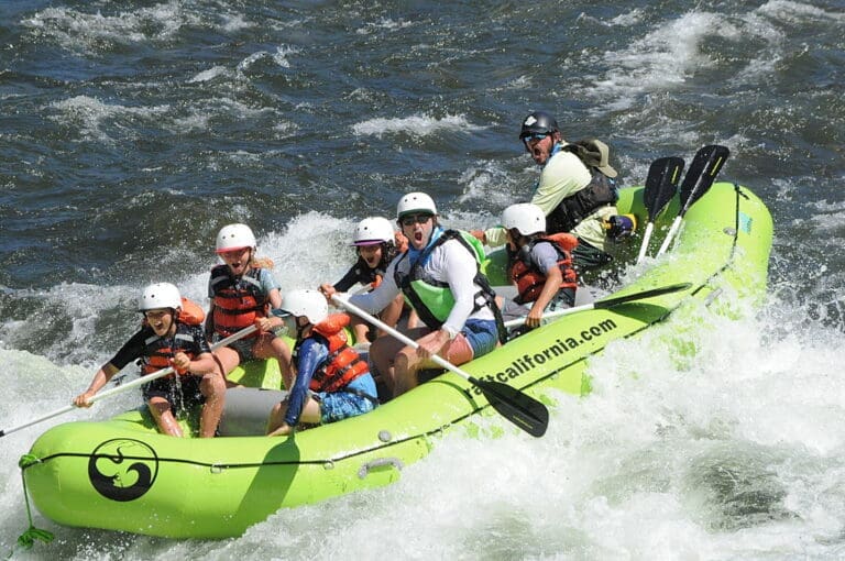
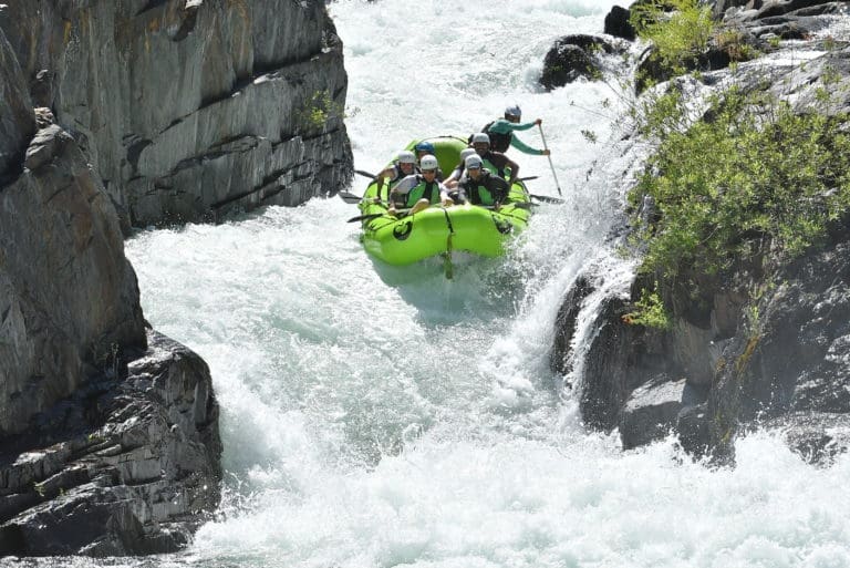
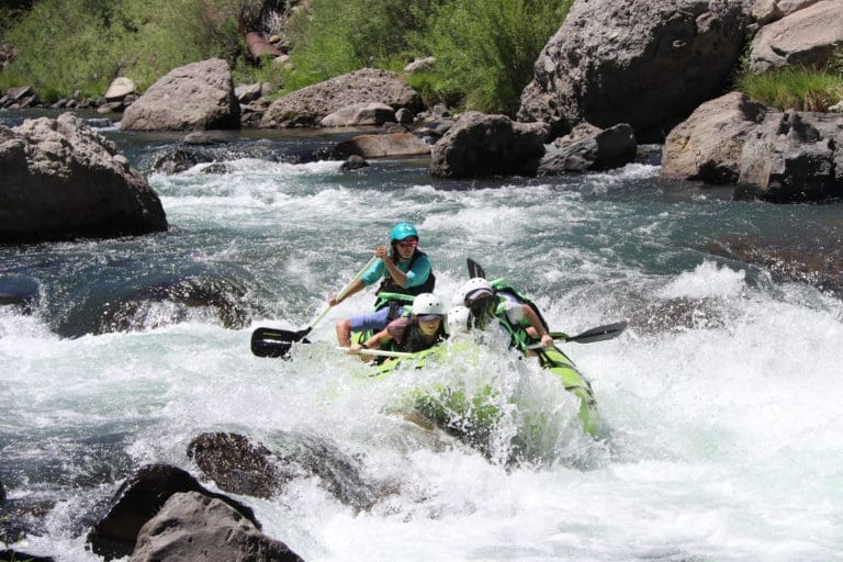
Troublemaker Rapid on the South Fork American River is a Class 3+ rapid at normal flows (usually 1500-1800 cfs). At times in the spring the flows can surge up to 6000+ cfs, which raises the class to a 4+ or more.
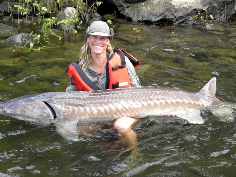
The South Fork American River runs through Coloma, California. This section of river is popular for day recreation, kayaking, white water rafting and fishing.
The South Fork American River is located in Northern California, between Sacramento and Lake Tahoe. The river starts from the Sierra Nevada Mountain range and flows into Folsom Lake.
The South Fork American River watershed begins in the Desolation Wilderness and flows thru the rolling hills of the Sierra Nevada Mountains. There are many access points along the river for boaters to raft and kayak down the river.
You can also check out our American river maps (on each river rafting trip page) for more details about each trip.
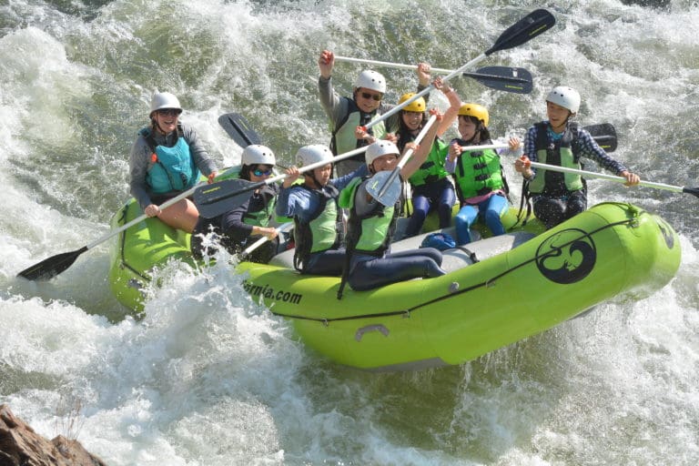
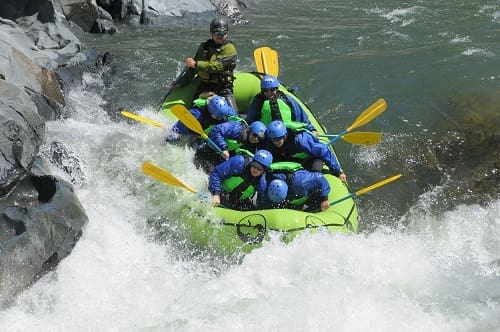
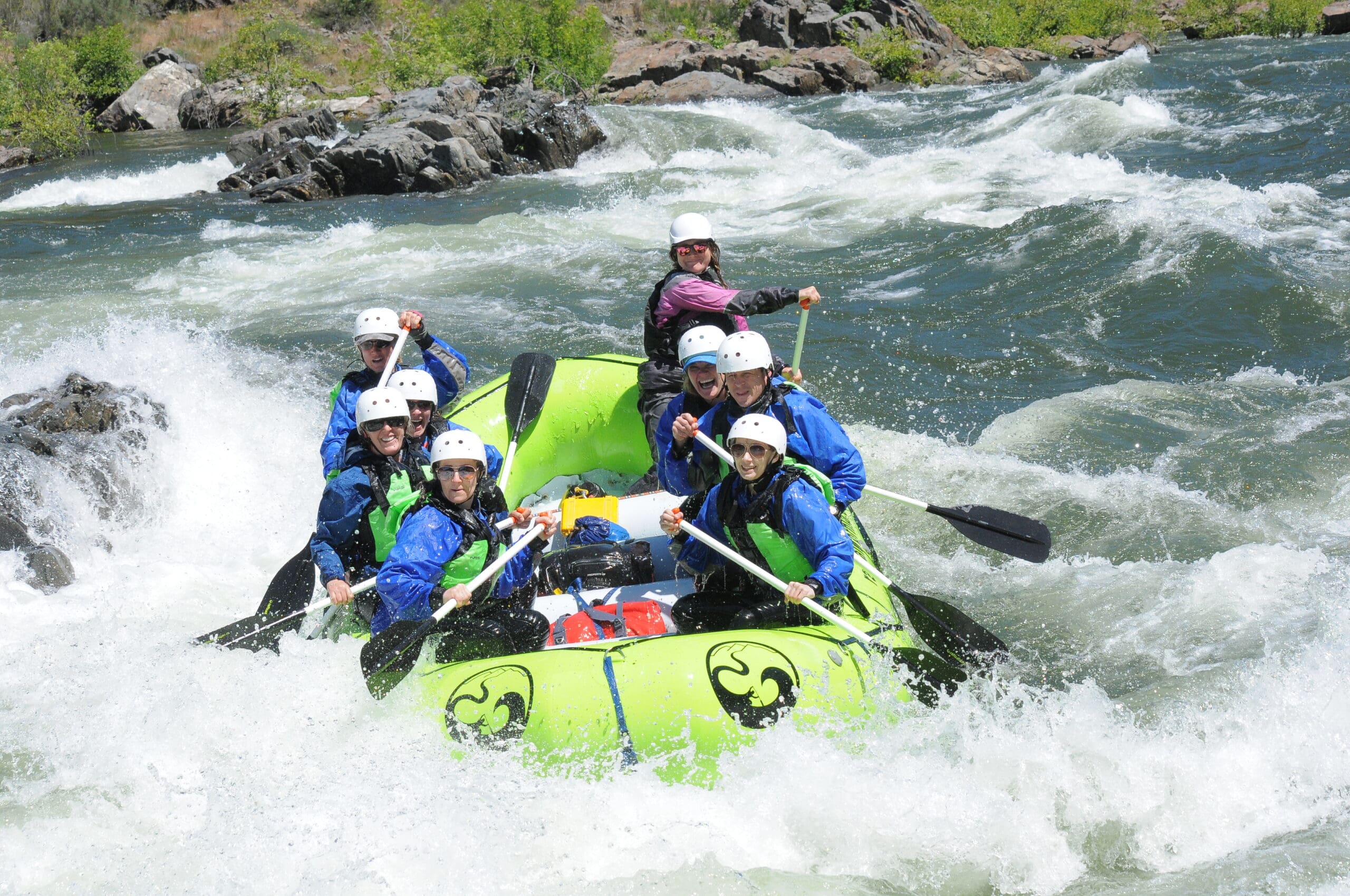
The South Fork American River rapids are rated Class 2-3+ during normal summer flows (1500-1800cfs). During spring snowmelt the flows may get into the Class 4+ range, making for some excellent high water trips.
Rafting trips on the South Fork American River can be as short as a few hours or several days with camping. Trips are offered as 1/2 day, full day, and 2 day overnight rafting trips.
Class 3 rapids are rated as “Difficult” according to the International Scale of River Difficulty and are classified as “Waves numerous, high, irregular; rocks, eddies, rapids with passages that are clear though narrow, requiring expertise in maneuvering.”
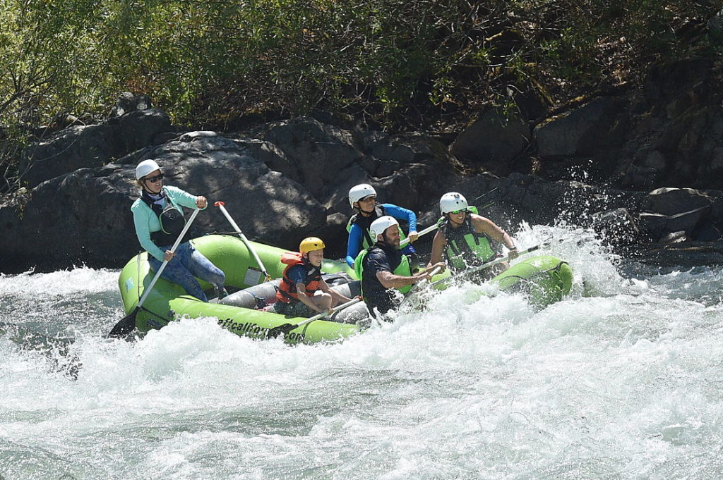
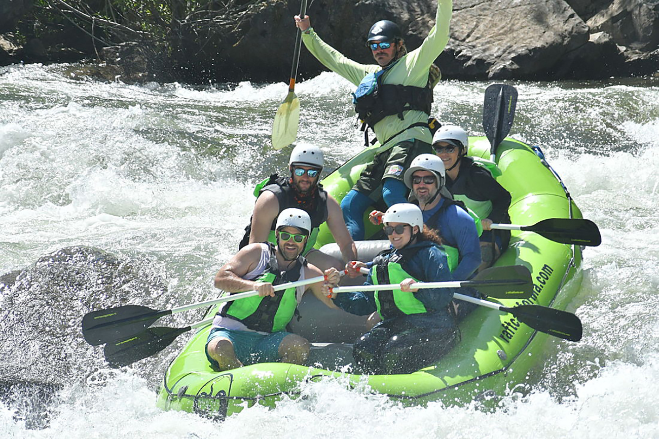
The South Fork American River features a range of rapids, primarily falling into Class III categories. Notable rapids include Meatgrinder, Race Horse Bend, Triple Threat, Troublemaker, Satan’s Cesspool, Bouncing Rock, Hospital Bar, and more.
The South Fork American River is located in Northern California, running through the Sierra Nevada mountains.
The South Fork American River begins near the town of Georgetown and flows southwest, eventually joining the North Fork American River near Folsom Lake.
Activities on the South Fork American River include exciting whitewater rafting adventures, where participants navigate through various rapids. The river also offers opportunities for camping, fishing, and enjoying the scenic beauty of the surrounding area.
The length of a typical South Fork American River rafting trip can vary, but a full-day adventure covering the entire stretch of the river is often around 21 miles and can take a day to complete.
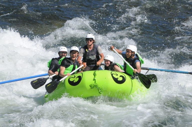
The South Fork American River stands out for its diverse and challenging Class III rapids, making it suitable for both beginners and experienced rafters. The scenic Sierra Nevada backdrop adds to the unique charm of this river, creating an unforgettable outdoor experience.
We would like to acknowledge the Southern Maidu people to the North, the Valley and Plains Miwok/ Me-Wuk Peoples to the south of the American River, and the Patwin Wintun Peoples to the west of the Sacramento River.
Acknowledging the Indigenous communities whose lands we visit is a crucial step in understanding our shared history and the ongoing challenges faced by these populations today. For more insight, visit our Territory Acknowledgement page. We encourage you to learn about the people whose land we’re privileged to explore by following the links above. Our Territory Acknowledgement is an evolving project. If you find missing information or acknowledgments, please share it with us. Together, we can ensure accuracy, inclusivity, and respect. Thank you.
We launch trips on many different rivers in California, Oregon and Idaho. For questions give our main office a call – we would love to talk with you about our trips and rivers.
Subscribe to our newsletter to all the latest news from the river, info about our specials and more!
Our vision is to create a sustainable and equitable reality where our rivers are enjoyed and protected, a place where families and friends can be inspired and challenged.
Tributary Whitewater Tours has been running rivers since we were first founded in 1978. Since we opened 40+ years ago we have expanded to include Adventure Connection, Mariah Wilderness Expeditions, High Desert River Outfitters, Canyon Outfitters and are the parent company of Raft California and Raft Oregon. While some things have changed over the years, Tributary remains a family-run small business with the same passion for the river and the mission of leading others to experience it.
© 2024, Tributary Whitewater LLC, All Rights Reserved


